Iwo Jima
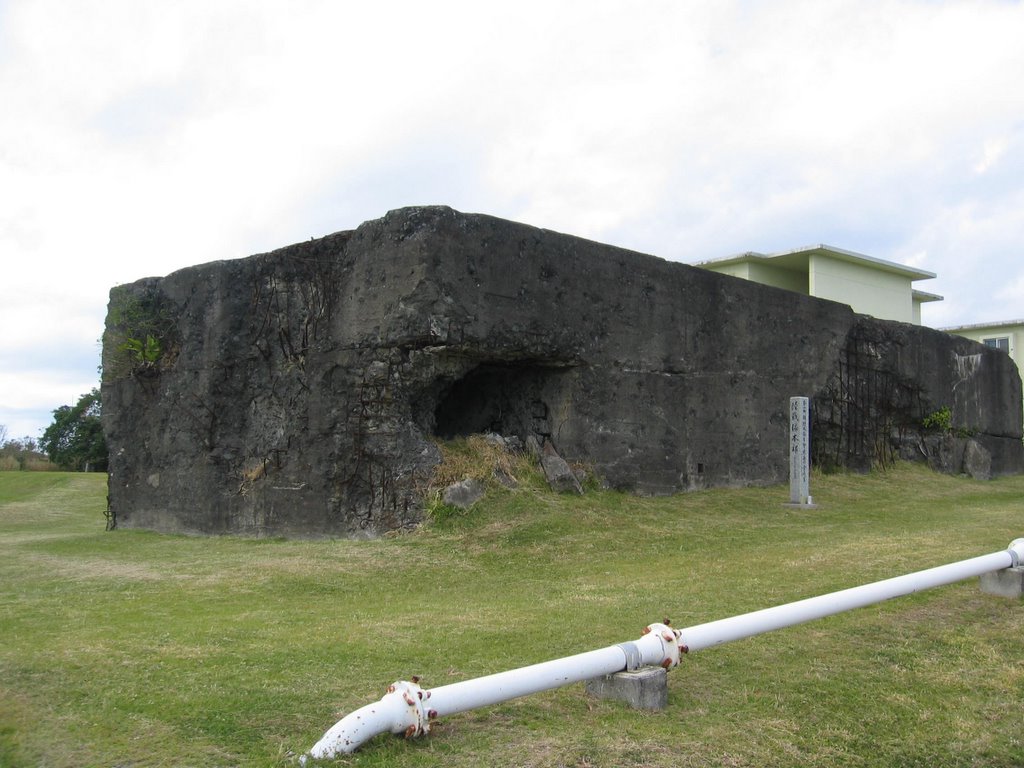
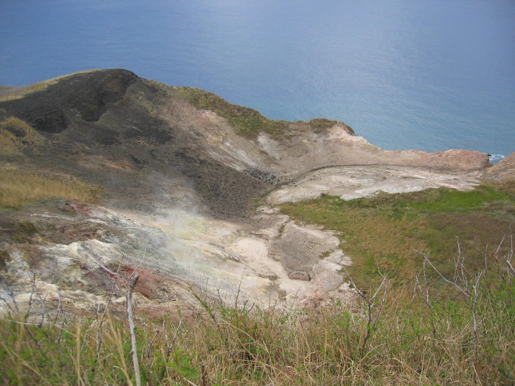
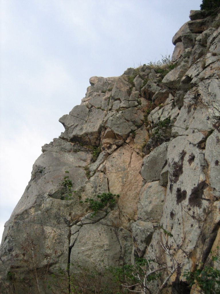
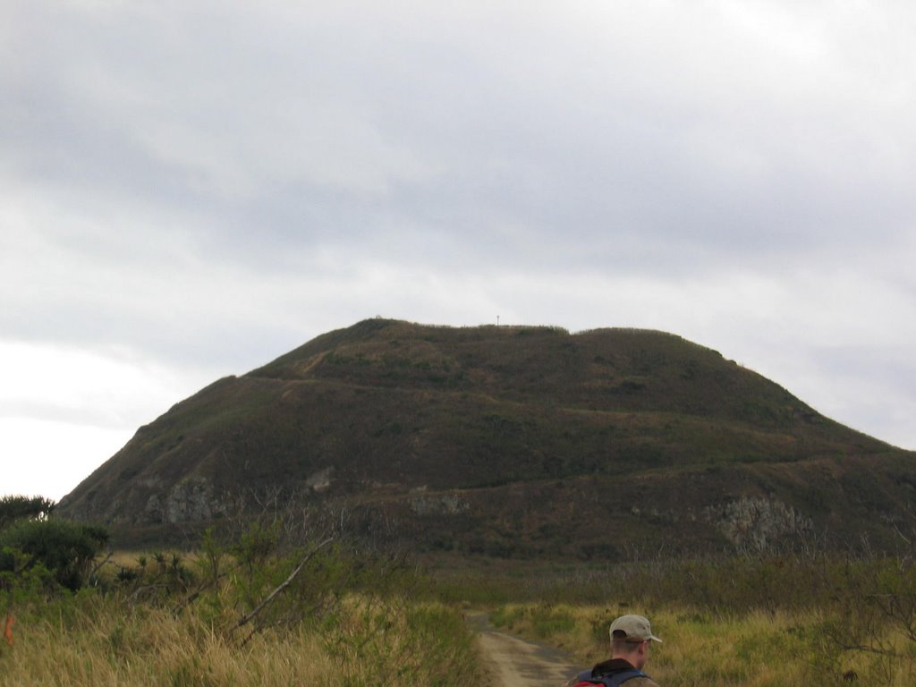
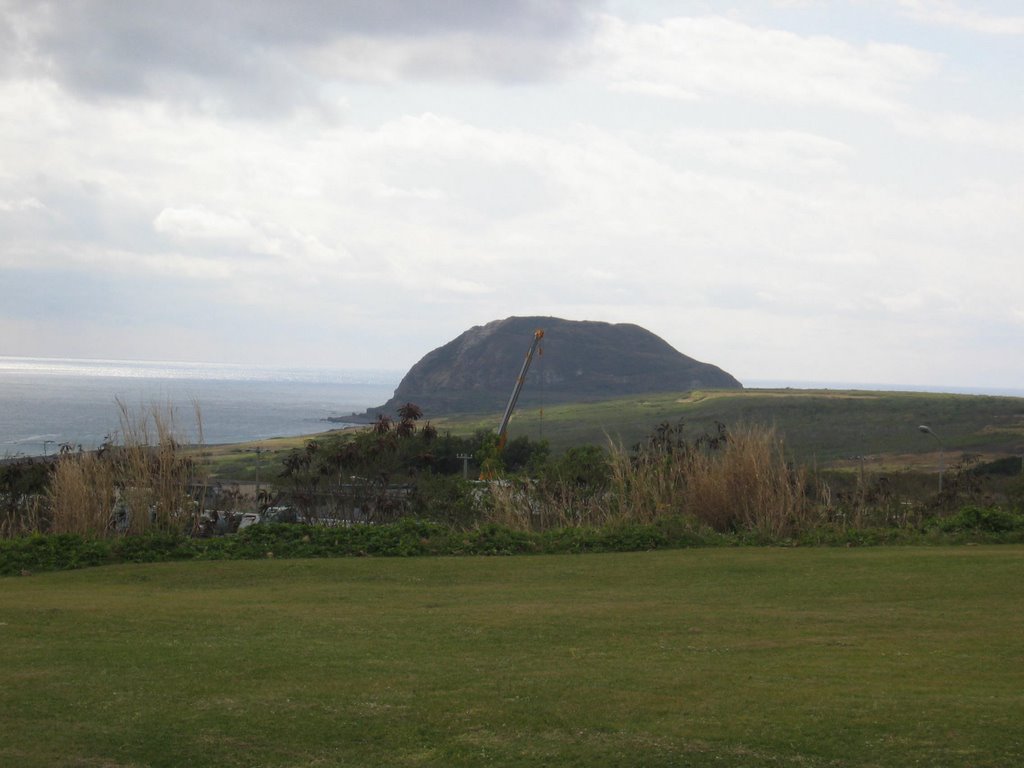
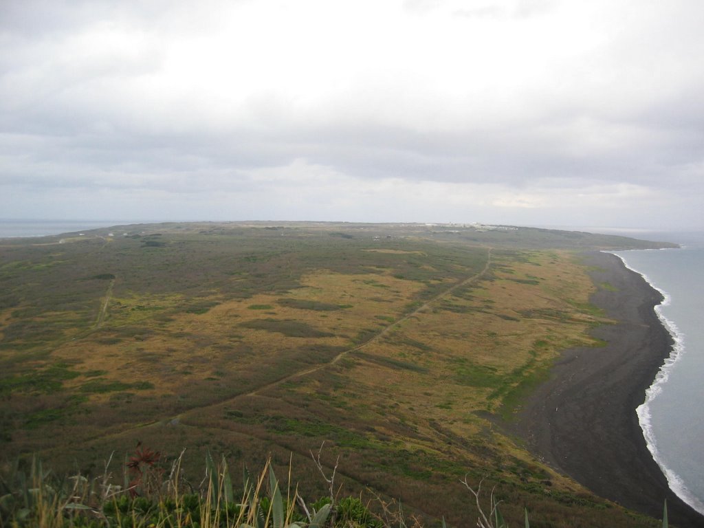
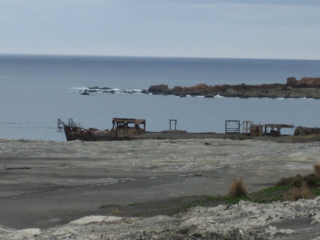
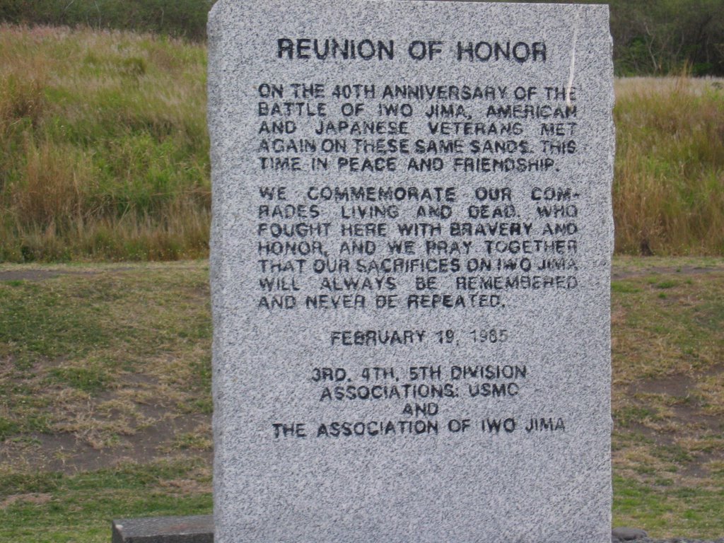
 Our squadron took a field trip to the island of Iwo Jima on Jan 25th. It's a 8 square mile hunk of dormant volcano that is about 650 miles south of Tokyo in the middle of the Pacific. As you may already know from WWII history, Iwo Jima was the site of one of the most significant engagements during the war, specifically for the US Marine Corps. And I think just about everybody is familiar with the above picture; one of the most famous and enduring combat photos ever taken. The island was a strategic airfield during WWII and the Japanese Self Defense Force still operates an airfield there. Japanese F-16's and search & rescue helos are based there and it's still used as a refueling/divert field for military aircraft on long range flights. We were fortunate enough to get a Navy C-130 to fly us down to the island for a day trip since access to the island is strictly controlled. In the spirit of remembering the Marines who fought bravely on the island we brought MRE's with us for lunch; just a small reminder that we still have troops in zone. The name Iwo Jima means "sulfur island" (iwo=sulfur, jima=island) in Japanese. Unsuprisingly we got the strong smell of sulfur as we were making our approach to the runway. As you can tell from the photos the island is pretty barren and relatively flat except for Mt Suribachi which tops out at a whopping 550 feet or so. We saw a bunch of cats, a couple wild turkeys, many centipedes and could hear other birds, but that's about it. We were advised not to go too far off the beaten track during our explorations since there is still potentially live ordnance laying around as well as hidden caves and whatnot to get trapped in. There wasn't exactly a tour bus for our group so we had to walk to Mt Suribachi. The round trip from the airfield was about 9 miles. It was pretty easy going but the road up Mt Suribachi ranges between 10-15 degrees of slope so getting up is a chore. Fortunately it's not all that tall so just when the climb really starts getting painful it's over. Once at the top we took our pictures, ate our MRE's and took a short break. Then it was back down the mountain and speed walk the 4 miles back to the air terminal for our flight back home.
Here is a good link for more detailed info on this island and the WWII battle: http://en.wikipedia.org/wiki/Iwo_Jima.
posted by ET at 7:57 PM
0 comments
![]()
![]()